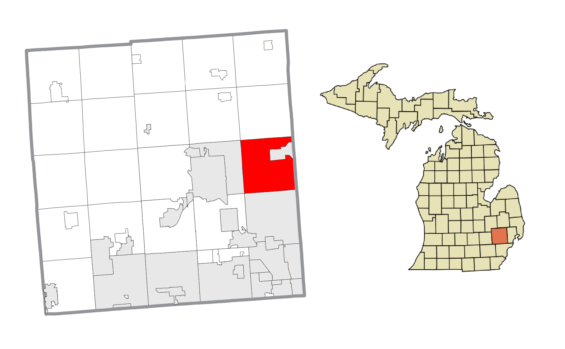
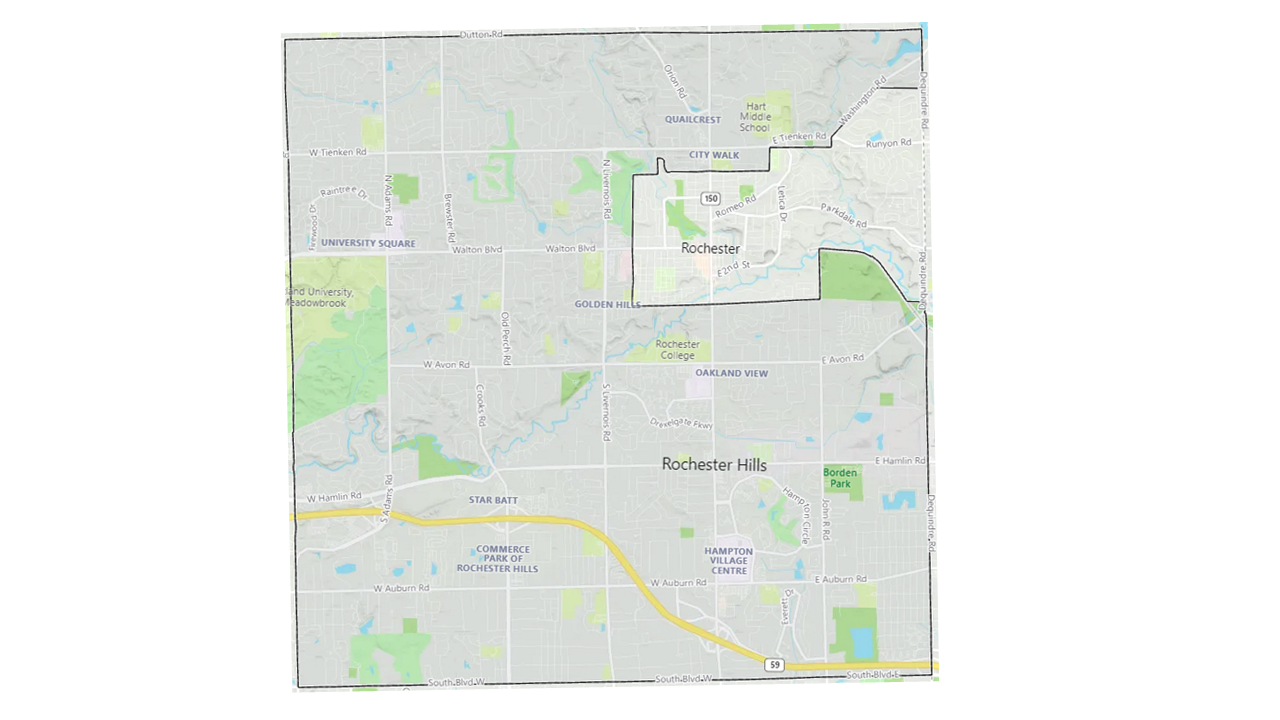
Area
Rochester Hills is almost 33 square miles, measuring 32.91 square miles. The city is located on the eastern side of Oakland County. Think of Rochester Hills as approximately a six by six mile square. The City of Rochester and it's 3.83 square miles sits completely within that square.
The southern border of South Boulevard is shared with Troy. The western border is shared with Auburn Hills. It begins in the south running along Adams road for 1.5 miles, then Adams road curves but the border continues straight north cutting through neighborhoods and Oakland University until the border stops at Dutton Road.
The northern border runs along Dutton Road on the west and Mead Road to the east. This northern border is shared with Oakland Township.
The eastern border of Rochester Hills is shared with the City of Rochester and Shelby Township (Macomb County).
Population
Rochester Hills has an estimated population of 74,516 as of 2019. That is an increase of 3,521 people since 2010 (5% growth).
History
The area was originally settled in 1817. This is what became the village of Rochester. The area around the village became Avon Township in 1835. Avon Township became the City of Rochester Hills on November 20, 1984. The residents voted to choose the new name for the city. Would it be "Avon Hills" or "Rochester Hills"? Rochester Hills won by a large margin, keeping the strong association with the City of Rochester which lies within Rochester Hills.
Earl E. Borden, Avon Township Supervisor, became the first mayor of Rochester Hills. Today, Borden Park is named after him.